


Classic Illustrated Books Modern Art and Design Books Translations of Western Texts Japanese Literature Prints and Ephemera Western Books Photo Books Paintings & Scrolls Australia & New Zealand Others
Australia New Zealand Antarctica Japan Korea China Other
Edo Period [1603-1853] Bakumatsu Period [1853-1868] Meiji Period [1868-1912] Taishō Period [1912-1926] Shōwa Period [1926-1989]
Share this book on...

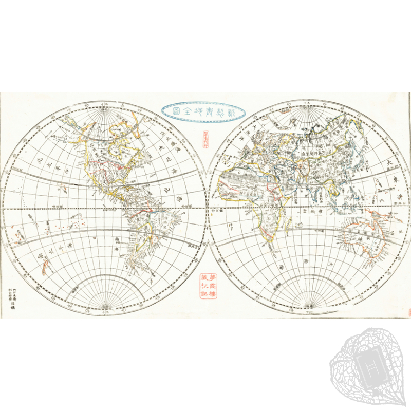
 A world map with political divisions clearly demarcated")
Shinsei Yochi Zenzu (Newly-Produced Map of the Earth)
 ENQUIRE ENQUIRE |
Shinsei Yochi Zenzu [Newly-Produced Map of the Earth]
Mitsukuri, Shōgo [created by]; Ōtsuki, Bankei [preface by].
[Japan: s.n.], Kōka Gannen [1844].
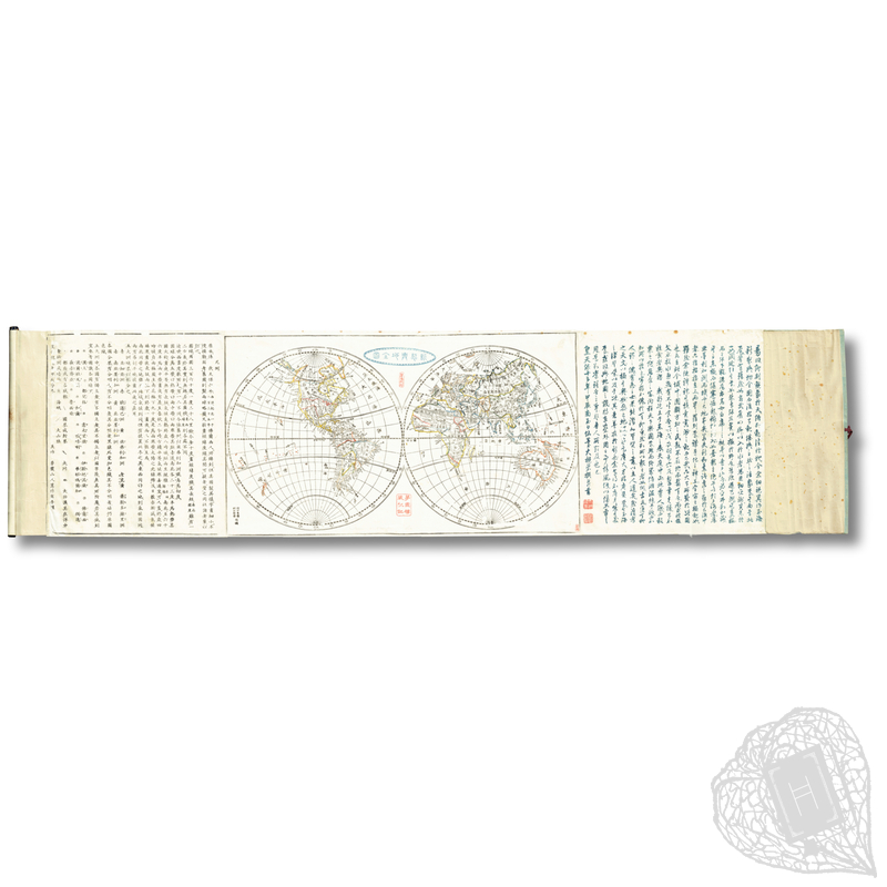
A woodblock-printed world map in handscroll format produced by the scholar and geographer Mitsukuri Shōgo (1821-1847). In the explanatory panel at left, Shōgo notes that the map was derived from an 1835 French map; however, Jeongbo Shim has noted that "the shape and geographical features of the map are identical to those of the government-published Shintei bankoku zenzu (Newly Revised Map of the World)" (The History of the East Sea and the Sea of Japan: Origin of Geographical Names, Conflicts and Solutions (Switzerland: Springer, 2022), p. 49). Shim asserts that the map is "remarkable in that political divisions were precisely delineated, and dependent territory of a home government was clearly marked using katakana". Shōgo is also known as the author of the widely read Konyozushiki (An Overview of the Geography of the World). A detailed late Edo-period world map with clearly delineated political boundaries, finished with hand-colouring.
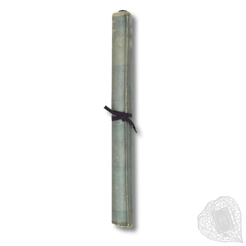
Three woodblock-printed sheets mounted as a hand-scroll, complete. Losses and fraying to silk wrappers. Lacks original daisen panel. Binding ribbon presumed non-original. Wormholes repaired with washi mounting. Small stains to upper margin. Colours hand-applied. Ex-ownership stamp to space between hemispheres. Last text column wormholed. 34.5 x 140.8 cm when unfurled.
# 260301-3


• Ask a question about this item >
Classic Illustrated Books Modern Art and Design Books Translations of Western Texts Japanese Literature Prints and Ephemera Western Books Photo Books Paintings & Scrolls Australia & New Zealand Others
Australia New Zealand Antarctica Japan Korea China Other
Edo Period [1603-1853] Bakumatsu Period [1853-1868] Meiji Period [1868-1912] Taishō Period [1912-1926] Shōwa Period [1926-1989]
Share this book on...
